Why the Paddle From Cedar Creek to Estero Bay Takes Longer Than the Map Suggests
Estero Jesse McGreevy September 10, 2026
Estero Jesse McGreevy September 10, 2026
The dock launch at Cedar Creek promises something specific: canoe and kayak storage, a member launch area, and direct water access to Spring Creek, which eventually opens into Estero Bay and, from there, the Gulf. It sounds like a straight shot. Grab a kayak, paddle out the gate, and you are on open water within the hour.
For the bigger picture, see our Estero area guide and our comparison of the best real estate agents in Estero. Related reading on our blog: The 32 Acres That Will Decide Downtown Estero and The Estero Permit Problem: What FEMA's Audit Means for Homeowners.
That is not quite how the trip works, and the reason has less to do with distance than with the creek itself.
Spring Creek carries a designation that most residents who use the community's dock launch have probably never thought to look up: it is classified as a Florida Outstanding Waterway, the state's protection status for water bodies judged worthy of special safeguarding because of their natural condition. The Florida Department of Environmental Protection explains that the designation exists to preserve existing water quality, which means permitting for anything that touches the creek, from dock repairs to dredging, runs through a stricter review than it would on an ordinary canal.
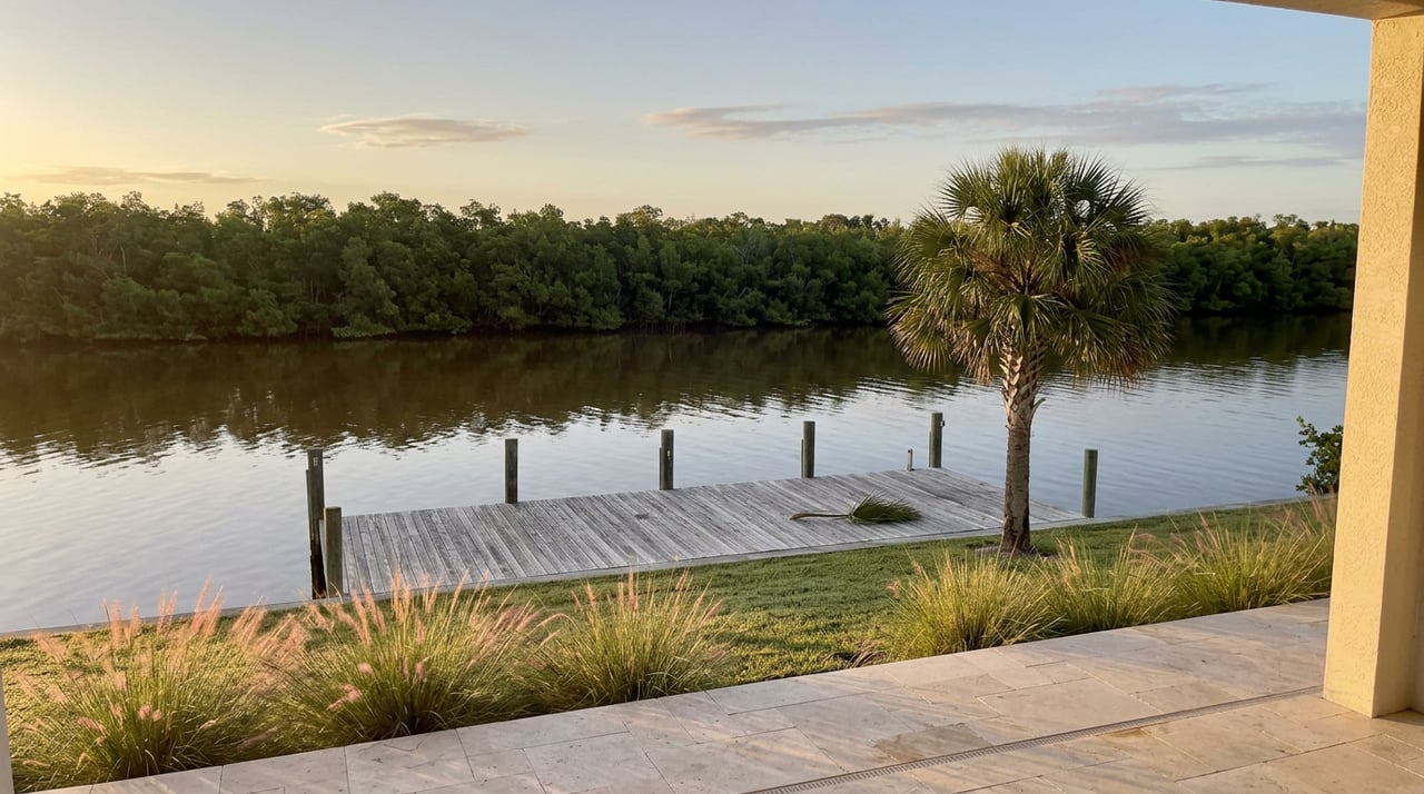
Cedar Creek's own property owners association confirms the practical side of that designation for residents: the creek is navigable water that exits into Estero Bay, giving access to the Gulf, and the community maintains both private docks for homes along the water and a shared member launch with storage for canoes and kayaks. On paper, that is everything you would want from a backyard waterway.
The water between your dock and the bay shapes the trip.
A watershed study commissioned by the City of Bonita Springs and developed with the Southwest Florida Regional Planning Council took a close look at Spring Creek roughly a decade ago, mapping the creek's condition segment by segment from its headwaters down to Estero Bay. That survey work included a photograph and finding labeled specifically as restricted flow inside the Cedar Creek subdivision, distinct from the other segments it mapped further upstream near Bernwood Business Park and the canal systems around San Carlos Estates.
That finding is old enough that anyone paddling out this season should confirm current conditions on the water rather than take a planning document as gospel. But the underlying geometry of a mangrove-lined creek narrowing as it winds through a residential subdivision is not the kind of thing that reverses itself in a few years. If your paddle out of Cedar Creek feels slower and tighter than the straight-line distance to the bay would suggest, that is consistent with what the survey recorded, not a sign you are doing something wrong.
The same study puts numbers around just how far that trip actually is. The Spring Creek watershed spans roughly ten square miles, about two miles wide and five miles long, and the creek's mouth meets Estero Bay approximately 6,000 feet south of Coconut Road. Separate hydrology data from the U.S. Geological Survey and the University of South Florida's water atlas project puts the creek itself at 5.9 miles of stream length within the larger Estero Bay Basin. None of that is a long paddle in absolute terms. It is long enough, though, that a narrow, restricted-flow stretch near the start of the trip changes how the whole outing feels.
Cedar Creek is not the only community on this creek with a launch.
The same planning study that documented the restricted flow inside Cedar Creek also recorded that its outreach team held citizen meetings with residents of Cedar Creek, Imperial Harbor, Pelican Landing, and Spring Creek Village while building the restoration plan. Four separate communities along one waterway, each with a stake in how the creek functions.
The Colony, a village within the larger Pelican Landing community, maintains its own dedicated Kayak Park on Spring Creek near Estero Bay. Pelican Landing's broader community association separately checks kayaks out of its Coconut Point Marina, describing that stretch of Estero Bay as a place where paddlers share the water with dolphins and manatees.
That is not a knock on the Cedar Creek launch. It is a pattern worth noticing: communities along this creek have access points in different locations. Cedar Creek's dock puts you closer to the creek's quieter, mangrove-lined upper reaches. A launch sited nearer the bay puts you closer to open water and the wildlife that comes with it. Neither is better. They are different trips.
For a resident heading out from the Cedar Creek dock for the first time, the run downstream tends to include:
If your plan is a quick loop before dinner, the upstream stretch near the launch is the more realistic scope. If you want the open-water version, budget more time for the outbound leg than the mileage alone would suggest, and go on a tide that gives you room in the narrower sections.
None of this means the Cedar Creek dock launch is a lesser amenity. It means it is a specific one. You are paddling out of a protected, narrow, mangrove-shaded creek before you reach anything resembling open bay water, and the creek's own history includes a documented tight spot inside the subdivision that predates any of the current homeowners. Residents who know that going in tend to enjoy the trip more than residents expecting a fast, wide-open run to the Gulf from their own back door.
If you are already living on the water here, the launch is worth using for what it actually is: a quiet, protected paddle through a stretch of creek that carries state-level water quality protection, connecting eventually to a bay where the more dramatic wildlife sightings tend to happen. Plan the outing around that reality and it delivers exactly what the amenity promises.
Cedar Creek residents who are ever curious what their home is worth in today's market can request a complimentary home valuation from McGreevy | Comisar any time. No pressure to sell, just an honest, current number whenever you want one.
This article is general information, not legal, tax or financial advice. Consult a qualified professional about your situation.
Our team’s unprecedented professionalism, skill, and attention to detail has allowed us to set sales records for the past 20+ years. We will ensure your buying or selling experience exceeds your expectations.