Moving to the Gulf Coast: Getting Around Bonita Springs, FL in 2026
Gulf Coast JESSE MCGREEVY June 3, 2026
Gulf Coast JESSE MCGREEVY June 3, 2026
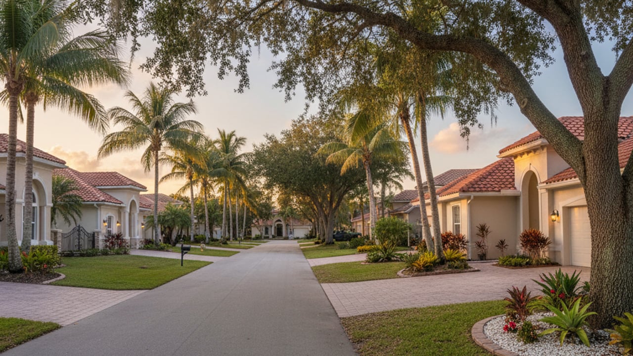
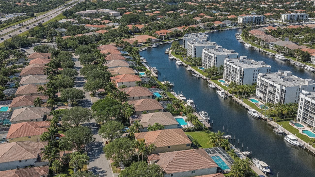
Bonita Springs sits right between Fort Myers, FL and Naples, FL along the Southwest Florida coast. This central location makes it easy to reach both major job centers and Gulf beaches within a 30-minute drive. The city has grown steadily throughout the 2020s, and local infrastructure has expanded to keep up with the steady influx of full-time residents.
Most locals rely on personal vehicles for daily errands and commuting. The local public transit and bike networks are expanding, giving residents more ways to leave the car at home. Winter brings a sharp increase in traffic as seasonal residents return, so knowing the alternate routes and local transit options saves time on the road.
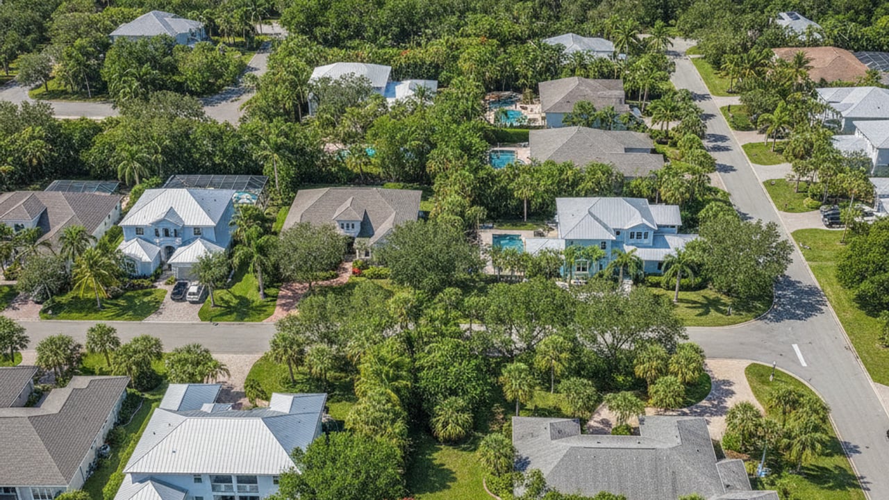
The city grid is relatively straightforward, built around major north-south arteries intersected by a few key east-west roads. The Gulf of Mexico forms the western border, while agricultural and conservation lands border the east. Understanding this basic layout helps new residents quickly memorize the fastest routes to the grocery store or the beach.
Interstate 75 serves as the main high-speed artery for north-south travel through Lee County, FL. Drivers use this highway to bypass local stoplights when heading to Fort Myers or Naples. The speed limit is 70 mph along most of this stretch, making it the fastest option for longer trips across Southwest Florida.
US-41, also known as the Tamiami Trail, runs parallel to I-75 but closer to the coast. This is the primary commercial corridor lined with grocery stores, medical offices, and retail centers. Driving on US-41 means dealing with multiple traffic lights, but it provides direct access to most daily necessities.
East-west travel depends on roads like Bonita Beach Road and Terry Street. Bonita Beach Road connects the interstate directly to the barrier islands, making it a busy route on sunny weekends. Terry Street offers a less congested alternative for local traffic moving between US-41 and the residential neighborhoods to the east.
Under normal conditions, driving from Bonita Springs to Naples takes about 23 to 25 minutes. Heading north to Fort Myers requires a 28 to 30-minute drive. During the peak winter season, drivers should add another 10 to 15 minutes to these estimates due to increased volume on both main roads.
The LeeTran public bus system operates Route 600 through Bonita Springs. This fixed route connects local riders to the Coconut Point Mall transfer station in neighboring Estero, FL. It also links to the Collier Area Transit system at Creekside, giving riders a way to travel continuously from Lee County into Naples.
The standard bus fare is $1.50 per ride, and riders can track buses in real-time using the LeeTran app. Fixed routes work well for planned trips along the main commercial corridors. For neighborhoods set further back from US-41, a standard bus stop might require a long walk.
LeeTran also operates an on-demand transit app service called ULTRA. Residents within the designated Bonita Springs service zone can request a minibus pickup directly from their smartphone. This service operates much like Uber or Lyft but at a lower cost, making it easier to reach grocery stores or medical appointments without driving.
Regional transit planners are continually evaluating route expansions to serve growing inland developments. Currently, the bus routes primarily benefit those living close to the US-41 corridor. If public transit access is a priority, mapping out the nearest bus stop is a good first step before viewing a property.
Southwest Florida International Airport, commonly called RSW, sits approximately 21 miles north of Bonita Springs. This is the primary commercial airport for the region, handling both domestic and international flights. Most residents find that living here provides easy airport access without the constant noise of low-flying jets.
The fastest driving route is almost always via Interstate 75 North to exit 128. A typical drive from central Bonita Springs to the terminal drop-off takes 20 to 27 minutes. The highway route is straightforward and avoids the heavy stop-and-go traffic found on local surface streets.
Seasonal traffic patterns affect airport commute times. Between January and April, travelers should plan for slower speeds near the I-75 exits in Estero and Fort Myers. Ride-hailing apps like Uber and local car services are readily available for those who prefer not to park at the airport.
When the interstate backs up, locals often use Imperial Parkway as an alternate northbound route. This surface road eventually connects to Treeline Avenue, which leads directly to the airport entrance. While the speed limits are lower than the interstate, this back route keeps you moving when highway traffic stalls.
The Bonita Estero Rail Trail project is currently transforming an old railroad corridor into an 11-mile multi-use path. When completed, this paved trail will give cyclists and pedestrians a dedicated route away from vehicle traffic. It connects several residential areas directly to parks and commercial centers.
Bonita Beach Road features continuous sidewalks and marked bike lanes leading directly to the Gulf coast. Cyclists routinely use this route for morning rides before the midday heat sets in. Drivers are accustomed to seeing bikes along this stretch, though the lanes are not physically separated from vehicle traffic.
The historic downtown district along Old 41 Road offers the highest concentration of walkable blocks in the city. The city recently widened sidewalks and added shade trees to make the area more comfortable for pedestrians. Residents can park once and walk between coffee shops, local government buildings, and riverside parks.
Many gated communities in the area feature their own internal networks of walking paths and bike trails. In some neighborhoods, residents use street-legal golf carts for short trips to the community clubhouse or local grocery store. It is a unique aspect of Florida living that cuts down on daily car trips.
Ride-sharing services like Uber and Lyft maintain a strong presence throughout Southwest Florida. Wait times for a ride in Bonita Springs typically range from five to ten minutes. These apps provide a practical alternative for evening trips to downtown restaurants or rides to the beach when parking lots are full.
Private car services and airport shuttles also operate extensively in the area. Many residents hire local drivers for scheduled trips to Southwest Florida International Airport or medical appointments in Naples, FL. Booking these services in advance ensures a guaranteed pickup time during the busy winter months.
Golf carts are becoming an increasingly popular way to travel short distances. Several master-planned communities are designed to be golf-cart friendly, allowing residents to reach the pool, tennis courts, or even adjacent shopping plazas without starting a car. Buyers should verify local ordinances, as street-legal carts require specific safety equipment and registration to operate on public roads.
Yes, the LeeTran bus system serves the area with fixed routes like Route 600 along the main commercial corridors. The city also offers the ULTRA on-demand transit service. Riders can use a smartphone app to request a minibus pickup within specific local zones.
Southwest Florida International Airport (RSW) is about 21 miles away from the city center. While the highway drive takes 20 to 27 minutes, taking the back routes like Treeline Avenue can save time if I-75 backs up. Always check your GPS app before leaving for a flight between January and April.
Yes, the blocks surrounding Old 41 Road form a pedestrian-friendly core. You can park your car once and walk to local coffee shops, the library, and the public band shell at Riverside Park. The crosswalks are well-marked, making it easy to cross the main street on foot.
Stay up to date on the latest real estate trends.


Bonita Springs

Bonita Springs
Bonita Springs
Bonita Springs

Bonita Springs
Bonita Springs
Our team’s unprecedented professionalism, skill, and attention to detail has allowed us to set sales records for the past 15 years. We will ensure your buying or selling experience exceeds your expectations.